Rural Clarington covers the agricultural and conservation lands of eastern Durham Region, from the Lake Ontario shoreline to the Oak Ridges Moraine. It offers working farms, rural residential properties, and Ganaraska Forest access at prices below comparable rural areas closer to Toronto.
Rural Clarington encompasses the agricultural and conservation lands between the urban communities of Bowmanville, Courtice, Newcastle, and Orono. The municipality covers a large area from the Lake Ontario shoreline north to the Oak Ridges Moraine, and the rural lands in between include working farms, estate properties, the Ganaraska Forest, the Ganaraska River watershed, and significant stretches of moraine and drumlin terrain.
Clarington is the easternmost municipality in Durham Region, and its rural areas have a character that blends the agricultural plains of south Durham with the higher, more wooded terrain of the Moraine in the north. Properties range from lakefront acreages at the southern edge to forest-backed farms in the moraine highlands. The variety within rural Clarington is greater than many buyers expect from a single municipality.
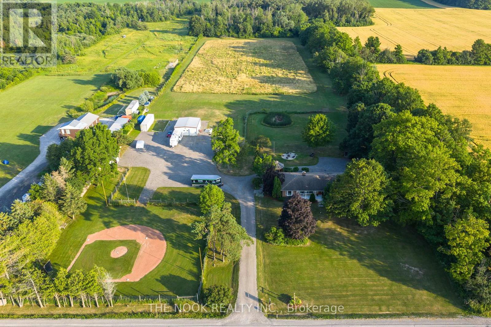
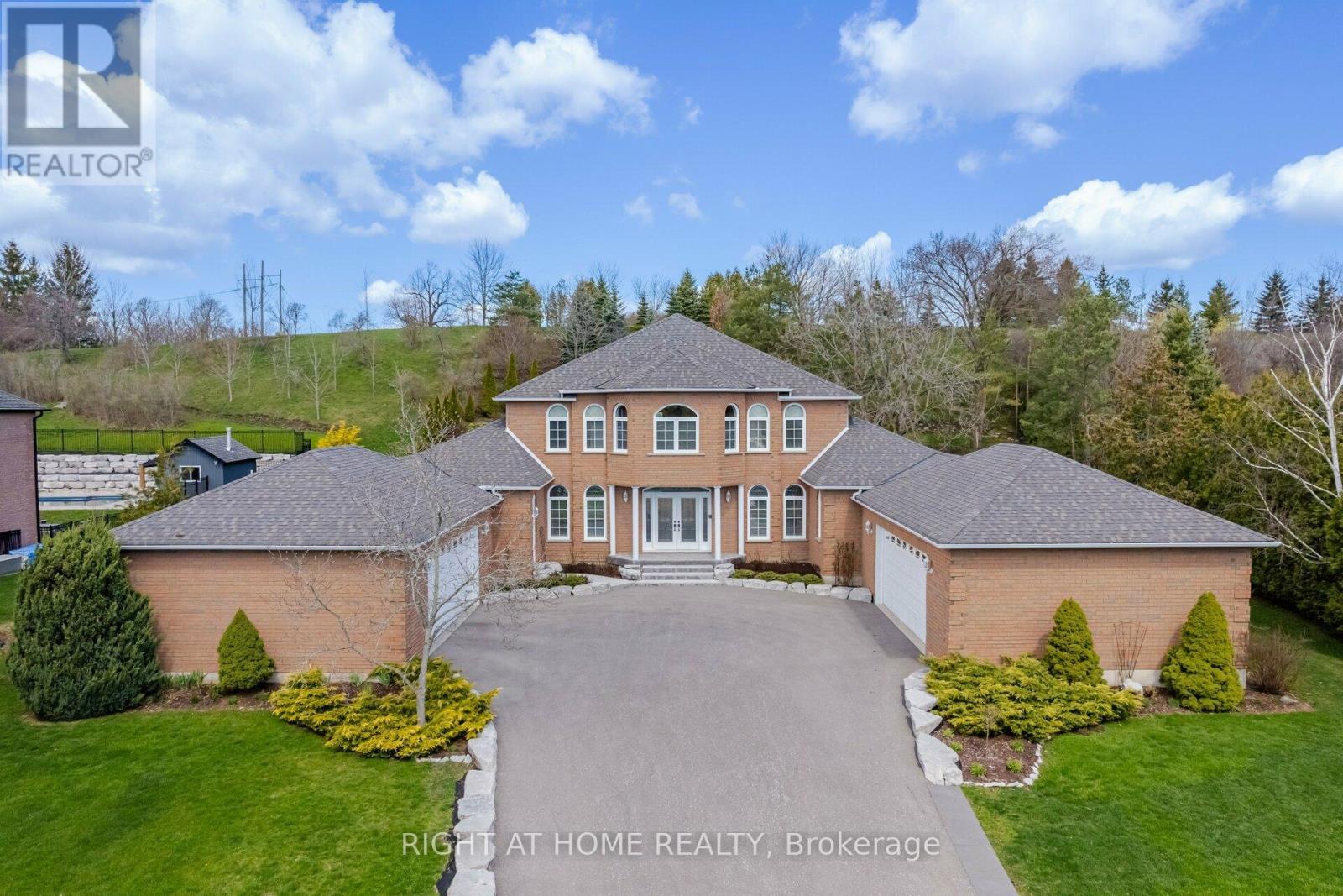
Properties in rural Clarington range from standard rural residential lots of 1 to 5 acres to working farms of 50 to 200 acres and estate properties with significant building programs. The housing stock is as varied as the geography: lakefront properties on the south shore, Victorian farmhouses on the clay plain, and log or timber frame homes in the northern moraine areas.
Prices vary considerably. Rural residential properties with a modest house on a few acres start around $900,000 to $1.1M. Well-maintained farmhouses on 20 to 50 acres run from $1.5M to $3M. Lakefront or lake-view properties command premiums depending on frontage and access. Rural Clarington is generally priced below rural Caledon and rural King Township for comparable land and building quality, reflecting the greater distance from the GTA core.
Rural Clarington is a thin market by any measure. Transactions are spread across a large geographic area and a wide range of property types, making neighbourhood-level statistics unreliable. Buyers need to work from property-specific analysis rather than area averages. Properties with significant acreage, waterfront access, or unique features can attract buyers from outside the immediate area who have been watching specifically for them.
Days on market for rural Clarington properties run 60 to 120 days in typical conditions. Some properties with specific characteristics, such as waterfront access or significant improvements, sell faster when they are correctly priced. Others with higher asking prices relative to comparables can sit for six months or more.
Rural Clarington attracts buyers who want more land per dollar than they can get in rural Caledon or rural King Township, and who are prepared to accept the greater distance from the Toronto core. The typical buyer is a remote worker, a retiree, or a family that has made a deliberate choice to trade commute convenience for space and countryside. Farming and hobby farming buyers find the agricultural land quality in the Clarington clay plain to be genuinely productive, which distinguishes it from the thinner soils of the Moraine.
The Ontario Power Generation employment at Darlington attracts some buyers to the south Clarington rural area, who want to live within a manageable drive of the facility while having rural space. OPG is a major employer and offers stable employment that justifies the rural property commitment for families who are anchored to it.
The landscape of rural Clarington changes significantly from south to north. The south is lake plain: flat, fertile agricultural land that supported the original farming communities. Moving north, the terrain rises through the drumlins and kames of the transition zone before reaching the Moraine highlands with their forests, streams, and sandy soils. The Ganaraska River runs north-south through the municipality and is one of the most productive cold-water streams in southern Ontario.
The concession roads of rural Clarington are well-maintained and provide good access to properties throughout the municipality. Stone fences, historic barns, and mature woodlots are common on the older farm properties. The visual character of the agricultural landscape in rural Clarington is consistent with what the first European settlers established here in the early 19th century and has not been fundamentally altered.
Rural Clarington has no transit. The main road network uses Highway 115/35 as the north-south spine connecting to the 401 at Bowmanville and extending north to Lindsay and the Kawarthas. Highway 2 runs east-west along the Lake Ontario corridor. Properties in the north of the municipality are 45 to 60 minutes from the nearest GO bus connection at Oshawa or the future Bowmanville GO terminal.
Most rural Clarington residents have multiple vehicles and plan driving as part of their daily logistics. Winter driving conditions in the moraine area north of the 115 can be challenging, and 4-wheel drive capability is practical rather than optional for some properties on side roads and concessions during heavy snowfall periods.
The Ganaraska Forest is the signature natural asset in rural north Clarington, covering 11,000 hectares of contiguous forest with an extensive trail network. Ganaraska Region Conservation Authority manages the forest for sustainable forestry, recreation, and watershed protection. The forest is one of the most significant reforestation success stories in Ontario, having been mostly clear-cut and eroded farmland before replanting began in the 1940s.
Lake Ontario access at the south end of Clarington provides beach and waterfront opportunities at Bowmanville Beach, Bond Head, and the Port Darlington Harbour area. The Second Marsh Conservation Area east of Darlington provides wetland and shorebird observation. Wilmot Creek Nature Preserve and the Robinson Creek Valley provide additional conservation land access throughout the municipality.
Rural Clarington properties rely on the urban communities of Bowmanville, Newcastle, and Orono for services, with the drive time depending on location. Bowmanville has the most complete commercial infrastructure, including a hospital, big-box retail, and a historic downtown. Newcastle and Orono provide basic convenience services. Port Hope, just east of the Clarington boundary, provides additional options for residents in the east part of the municipality.
Residents in the north of rural Clarington, near the Ganaraska Forest area, are sometimes closer to Lindsay or Cobourg for healthcare and shopping than to Bowmanville. Understanding the specific drive times from any property to the services you rely on is important when buying in a rural municipality of this size.
School bus service is provided by the Kawartha Pine Ridge District School Board and the Durham Catholic District School Board throughout rural Clarington. Bus routes cover eligible students, though rural routes in the north of the municipality can involve early pickups and long rides. Secondary school students travel to Clarington communities, which can add significant time to the school day for families in the most northern parts of the municipality.
Home schooling is more common in rural areas of north Clarington than in urban Durham Region communities. The Ganaraska Forest area and the moraine highlands attract buyers with unconventional approaches to education and lifestyle, and those buyers often have home schooling or alternative education plans already in place when they purchase.
Rural Clarington sits within the Oak Ridges Moraine Conservation Plan in the north and the Provincial Policy Statement agricultural land framework in the south. These planning protections limit what can be developed on rural land and are a stability factor for buyers seeking long-term landscape protection. Clarington’s growth is directed to the urban communities, not to the rural area.
The Bowmanville GO extension will improve connectivity between rural south Clarington and the broader GTA, but the effect on rural properties well north of the 401 is indirect. The most significant change for rural north Clarington would be improvements to the Highway 115/35 corridor, which has been discussed but not substantially advanced as of 2026.
What is the Ganaraska Forest and how accessible is it from rural Clarington?
The Ganaraska Forest is managed by the Ganaraska Region Conservation Authority and covers approximately 11,000 hectares of reforested upland north of the Highway 115/35 corridor in north Clarington and adjacent municipalities. It has more than 50 kilometres of marked trails for hiking, cycling, cross-country skiing, and equestrian use, plus designated camping areas. The Ganaraska Forest Centre on Cold Creek Road provides maps, programming, and facilities. For rural Clarington properties north of Orono, the forest is often accessible within a 5 to 15 minute drive. It is one of the most underappreciated outdoor recreation assets in southern Ontario, known primarily to local residents and conservation community members rather than the broader GTA public.
How do prices in rural Clarington compare to rural Caledon?
Rural Clarington properties are generally priced meaningfully below comparable rural Caledon properties. A farmhouse on 20 acres in rural Clarington might list at $1.5M to $2M; a comparable property in rural Caledon with similar land and building quality would often list at $2.5M to $4M. The gap reflects Caledon proximity to the GTA and its equestrian prestige market, the stronger greenbelt protections that constrain supply there, and the cumulative effect of two decades of GTA buyer demand in Caledon. Buyers who are focused on functional land ownership and are not paying for address prestige find rural Clarington genuinely good value. The trade is a longer drive from Toronto and an absence of the Caledon equestrian community infrastructure.
Is farming viable on rural Clarington land?
The clay plain soils of south Clarington are among the more productive agricultural soils in Durham Region, and working farms in the area grow grain, mixed vegetables, and forage crops. The moraine soils in the north are sandier and better suited to fruit, vegetables, and market gardening than to field crops. OPG requires significant land in Clarington for buffer zones around the Darlington facility, and a portion of that land is leased for agricultural use. Hobby farming on small parcels of 5 to 15 acres is practical throughout the rural area. Buyers planning to actively farm should assess soil quality, drainage, and access to agricultural water for irrigation before purchasing, particularly in the moraine area where drainage and soil variability are higher than on the clay plain.
What are the main things to know before buying rural Clarington property?
The same practical considerations apply here as for any rural Ontario property: private well and septic on most rural residential properties, longer emergency response times than in urban areas, heating via propane or oil rather than natural gas, and longer drives for all services. Beyond those basics, rural Clarington has some specific factors: the proximity to the Darlington Nuclear Generating Station in the southwest of the municipality means those areas are within the provincial Emergency Planning Zone, and buyers should review the local Emergency Response Plan. Properties in the north of the municipality near the Ganaraska Forest may be on lower-traffic maintained roads where plowing schedules are less frequent during heavy snow events. These are all manageable factors for buyers who understand rural property ownership; they are surprises only for buyers who have not thought them through in advance.
Rural Clarington requires agents with specific rural and farm property experience. The skills are different from suburban residential work: evaluating agricultural soil and drainage, understanding Conservation Authority regulations under the Ganaraska and other watershed authorities, reading well logs and septic records, and navigating the agricultural zoning that applies to rural properties in this municipality.
Buyers who are new to rural property ownership in Durham Region benefit from having representation who can distinguish a genuinely productive 50-acre parcel from one with drainage problems that will cost $100,000 to address. Sellers need accurate comparable analysis drawn from across east Durham and Northumberland, not just within the municipality, because the buyer pool for rural properties of this type crosses municipal boundaries regularly.
Street-level knowledge is hard to find online. Our team works in Rural Clarington every day. They know which pockets hold value, where the school catchment lines actually fall, and what the market is doing right now. Talk to us before you make a decision about Rural Clarington.
Talk to a local agent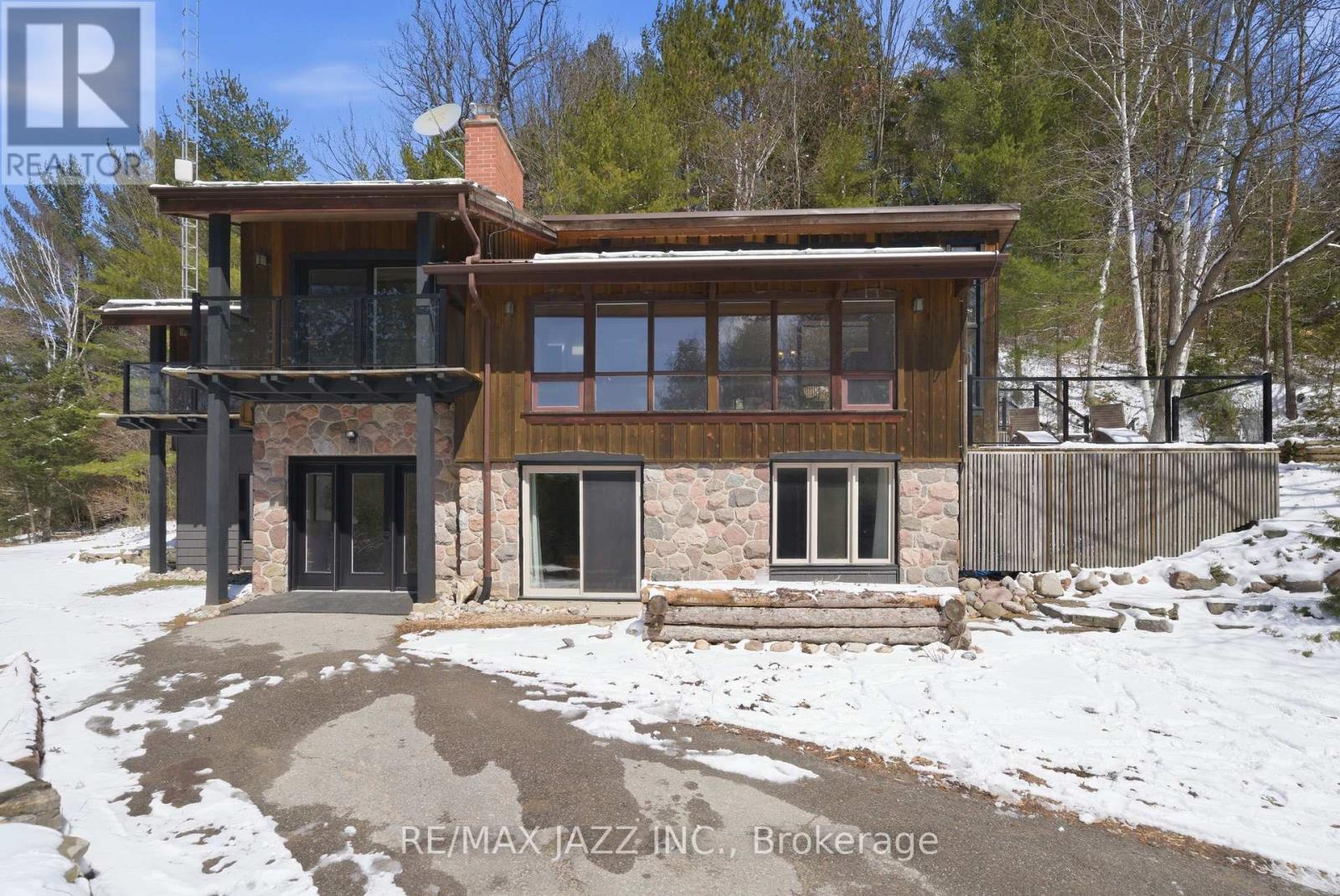 For Sale
 For Sale
 For Sale
 For Sale